Mission: L06
Synopsis:
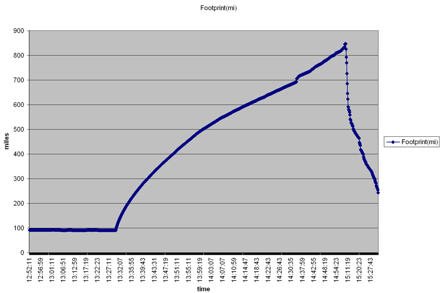
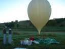
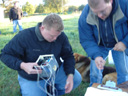
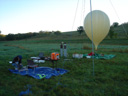
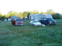
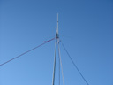
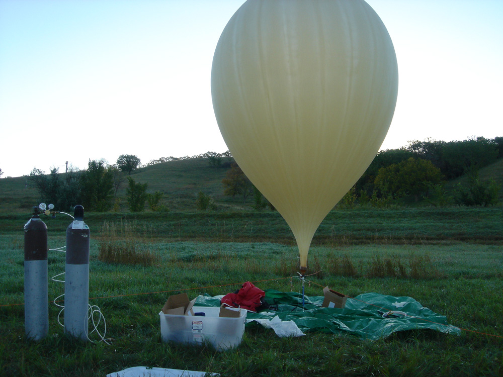
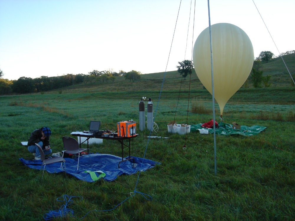
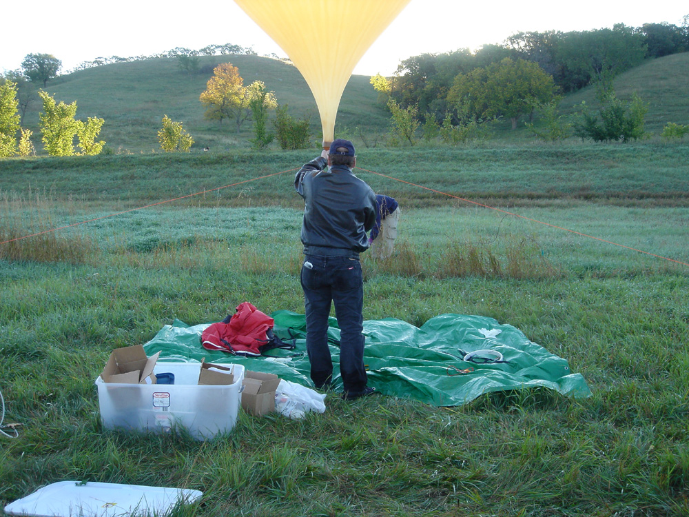
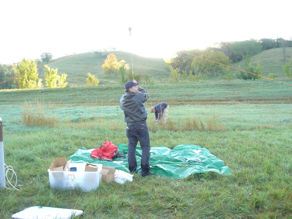
We launched L06 without incident at 8:30AM Central Time on Saturday September 25th, 2004 at our North Dakota launch site. Wind was zero and visibility was unlimited. The balloon
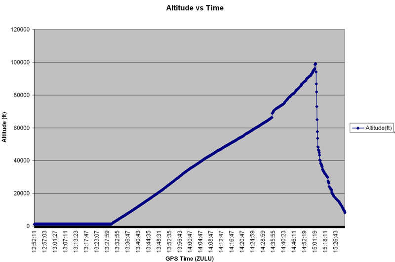
was actually visible throughout the duration of the flight. Recovery team members were able to observe the burst with the naked eye. We had one GPS packet that
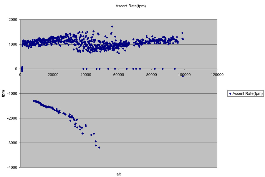
read an altitude of 100,080 feet. Flight was able to receieve data all the way up to 99,000 feet before loosing the signal. We reaquired the signal at various points during the descent,
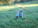
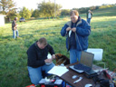
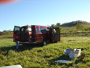
finally getting a lock at about 30,000, and loosing the signal over the horizon at 10,000 feet. Recovery picked up a signal throughout the entire flight. The Concorida Payload was loaded onto the
balloon for the entire flight. The took temperature measurements as well as pictures through out the entire flight. Upon recovery, the command module antenna was bent, but the Command module and
payload remained intact. We couldn't have asked for a nicer day to launch. The mission was a complete sucess.
Flight Information:
| Date: | September 25th, 2004 |
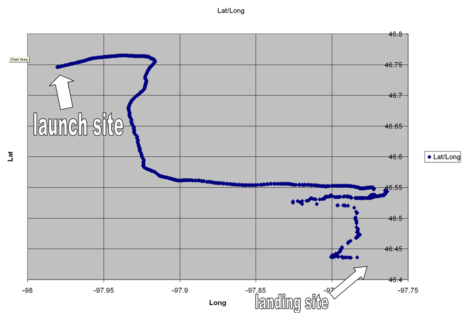
| Launch Site: | 15 miles south of Valley City, ND :: Map |
| Launch Coordinates: | Latitude: 46.74583 N, Longitude: 97.98074 W, Altitude: 1200 feet |
| Launch Time: | 8:30 AM Central Time |
| Flight Time: | 2 hours |
| Maximum Altitude | 100,080 feet |
| Burst Coordinates | COMING SOON |
| Landing Coordinates | 46.43621 North, 97.75583 West |
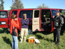
Personnel:
| Mission Manager: | Greg Nelson |
| Launch Director: | Adam Thoreen |
| Flight Director: | Adam Thoreen |
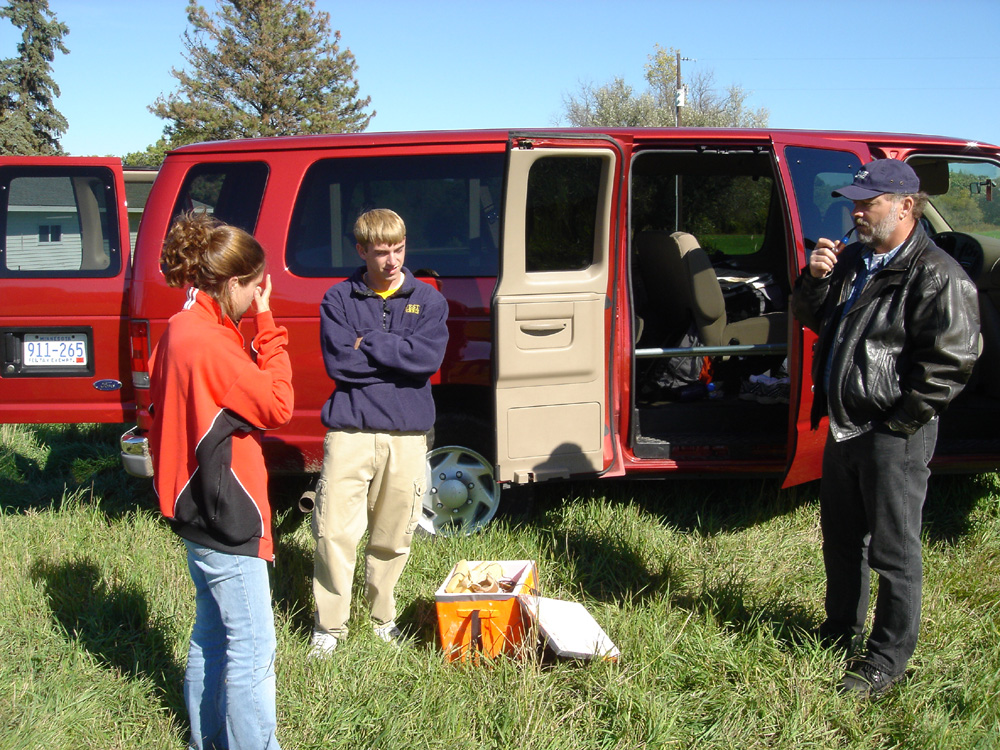
| Recovery Director: | Jason Mintz |
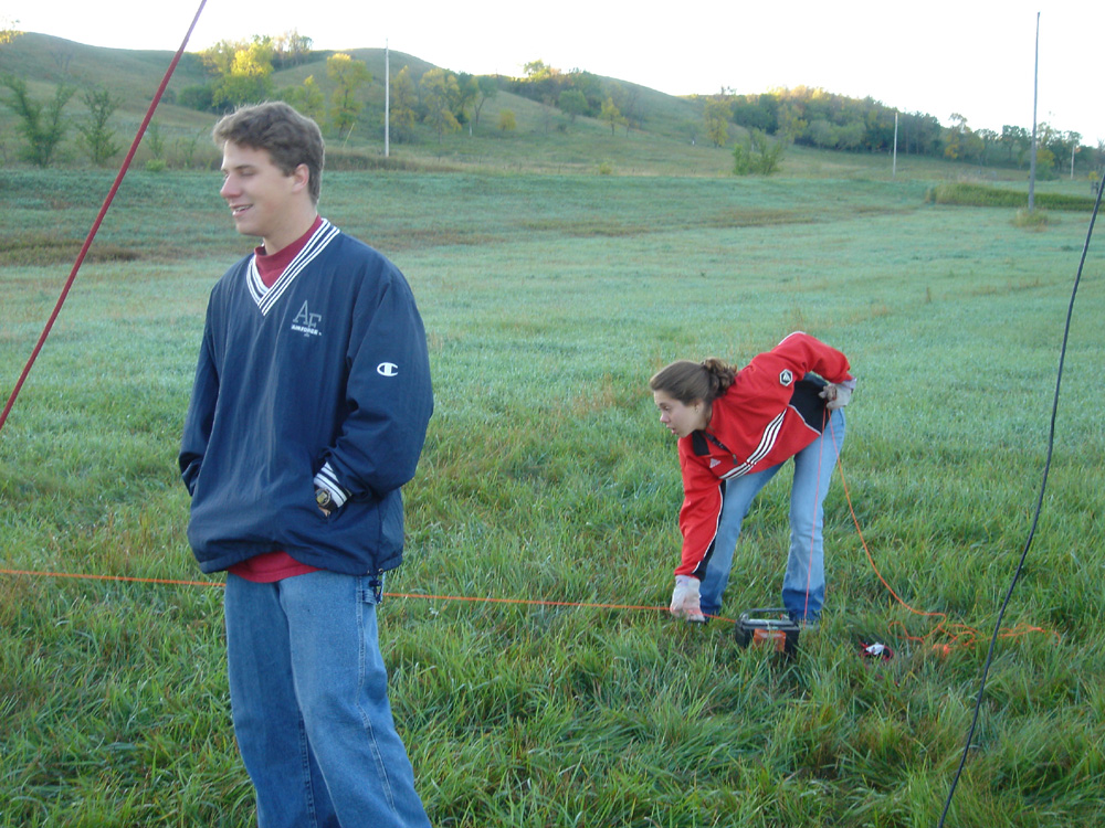
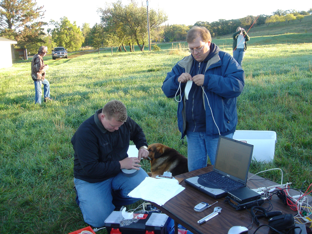
| Launch Team: | William Duppler, Sam Napit, Greg Nelson, Jason Mintz, Kyle Flanagan, Megan Williams |
| Flight Team: | Adam Thoreen, and Megan Williams |
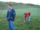
| Recovery Team: | Jason Mintz, Kyle Flanagan, William Duppler, Sam Napit, Greg Nelson, Paul Seifert |
| Payload Team: | Paul Seifert, William Duppler |
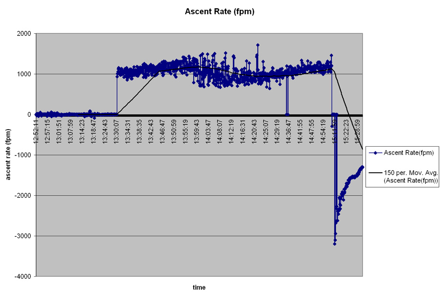
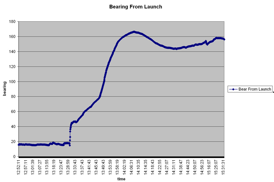
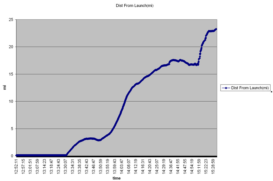
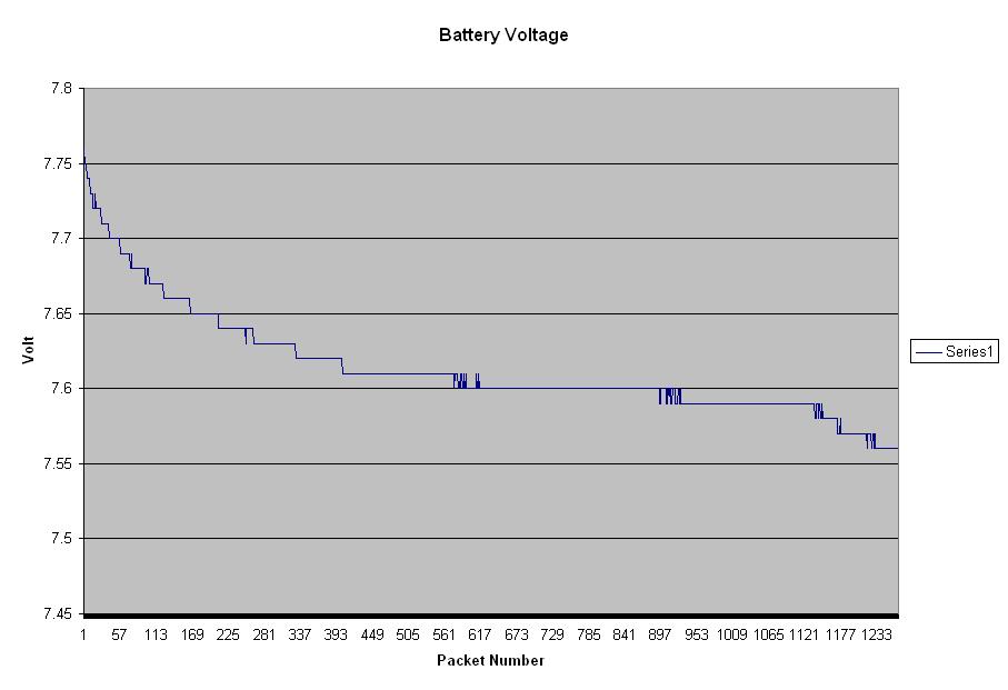
Flight Data:
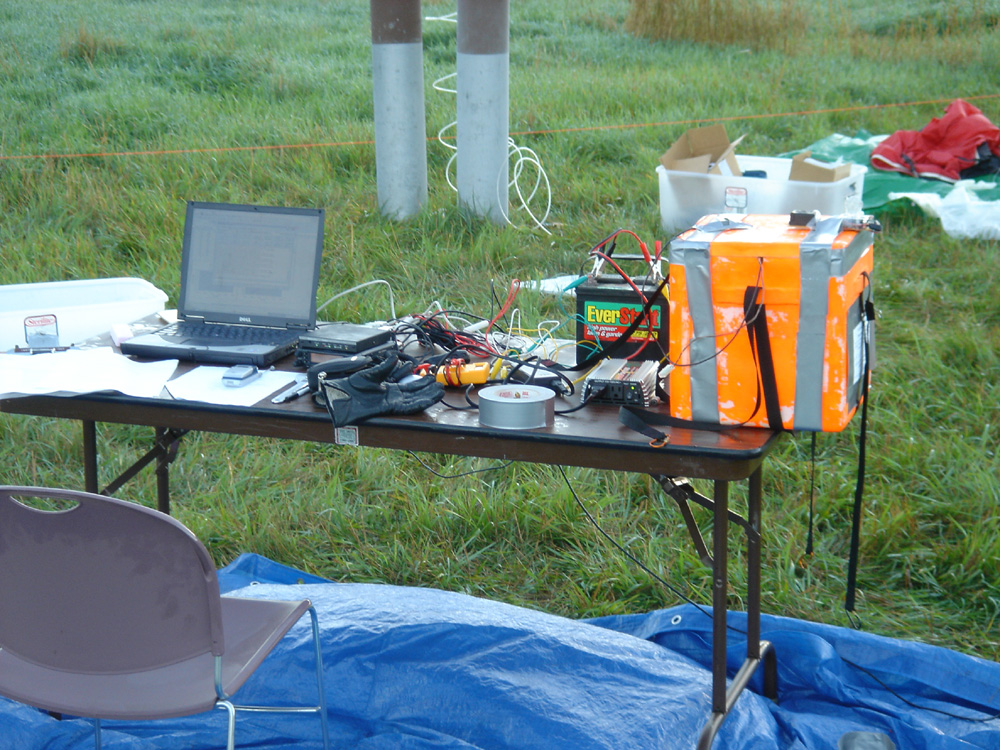
Pictures:
Pictures taken by Adam Thoreen


Pictures taken by the Payload Camera (scanned from film)


Web site maintained by Adam Thoreen
Last updated: October 25th, 2004
Last updated: October 25th, 2004